Flora itinerary: Brushwood and vineyards - Holm oak woods - Escaladei
Information
Level
Low
Distance
4.00 km
Drop
200 m
Duration
75 min
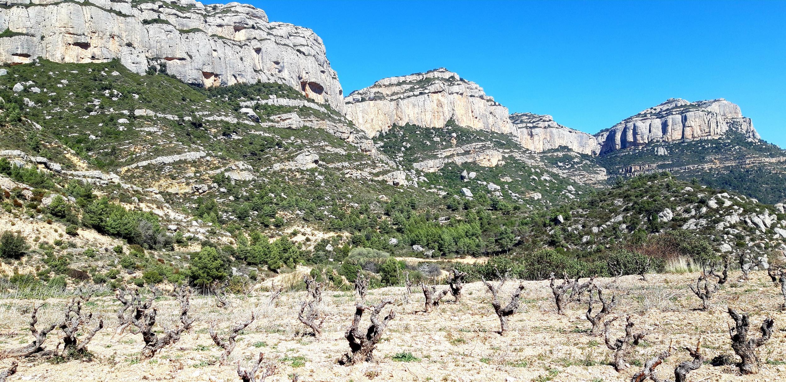
A route on the sunny hillsides on the lower slopes of the Montsant massif. Beneath the towering cliffs that loom over the stream bed coming down from the Pregona spring, material resulting from erosion has built up. The stream beds that now only carry water from time to time have cut into the different geological strata and at the same time carried away much of the sediment.
Flora route
Scrub and vineyards Cartoixa d’Scala Dei
Height difference: 200 m, from 450 to 650 m.
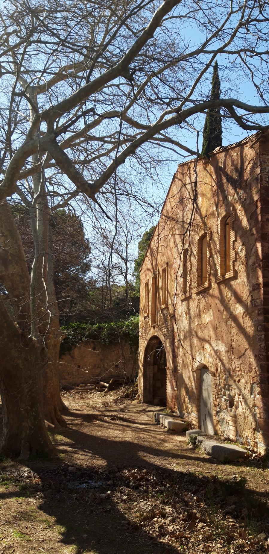
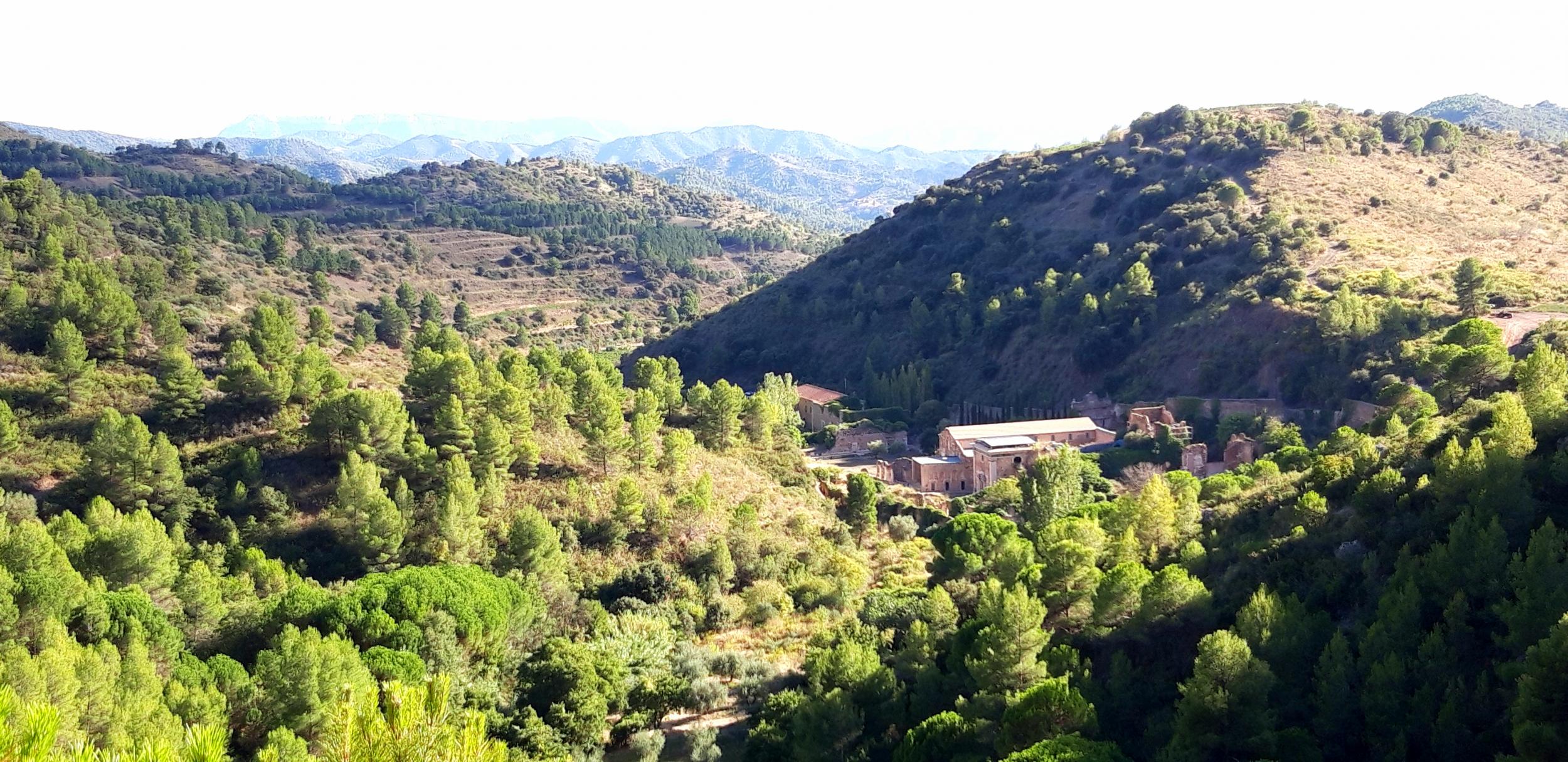
Starting point: Car park at the Carthusian monastery of Scala Dei. Return to the same place.
Time to allow: 1¼ h walking; stopping time must be added to this.
Length of the route: 4.2 km.
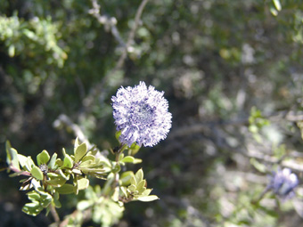
Recommendations: the route can be followed at any time of year, but especially in winter and early spring, when many species typical of scrub flower; times of day when the sun is high in summer are not recommended. Water can be found at La Pietat and Font Pregona. Footwear suitable for walking on paths should be worn. Many sections of the route are indicated with GR waymarks (red and white paint).
Route: Set out from the car park at the monastery of Scala Dei. Start off along the track that goes up to the left of the monastery, following the perimeter wall. When you come to a junction, take the track that goes up to the left as far as a flat area |1|. Carry on up the track to the right until you come to a footpath going off to the right, marked with piles of stones |2|. Take this path |3| to get to the ruins of La Pietat |4|. Carry on up the path to the left of the main building. Go up the steps made of wooden trunks and soon after passing the water tank and a towering cypress tree, turn left along a marked path that leads back to the main track. After a few minutes, just in front of you, you will see an old lime kiln. Opposite the lime kiln, just to the left of the path you came up, another path goes up through the trees. Follow this path through the reforested area until you come to another path that follows the stream bed |5|. Take this path to the left and it will bring you first to a water tank and then, via the main track, to the spring of Font Pregona. The return journey involves retracing this last section of the route. If you do not want to visit the Font Pregona but to go straight back, instead of turning left onto the path following the stream bed through the woods, turn right. Eventually the ground falls away to the right. You can see La Pietat from above, as well as the impressive remains of the monastery. Carry on around the hill as far as the top of the Coves Roges (Red Caves). The path, following the route of the water pipe, starts to descend steeply and quickly takes you down to a wide track, where you turn right. The track winds its way down, then skirts the ruins of the site of the old monastery to bring you back to your starting point.
Image gallery