Margalef Landscapes - Barranc de Sant Salvador
Information
Level
Low
Distance
3.80 km
Drop
135 m
Duration
2 h
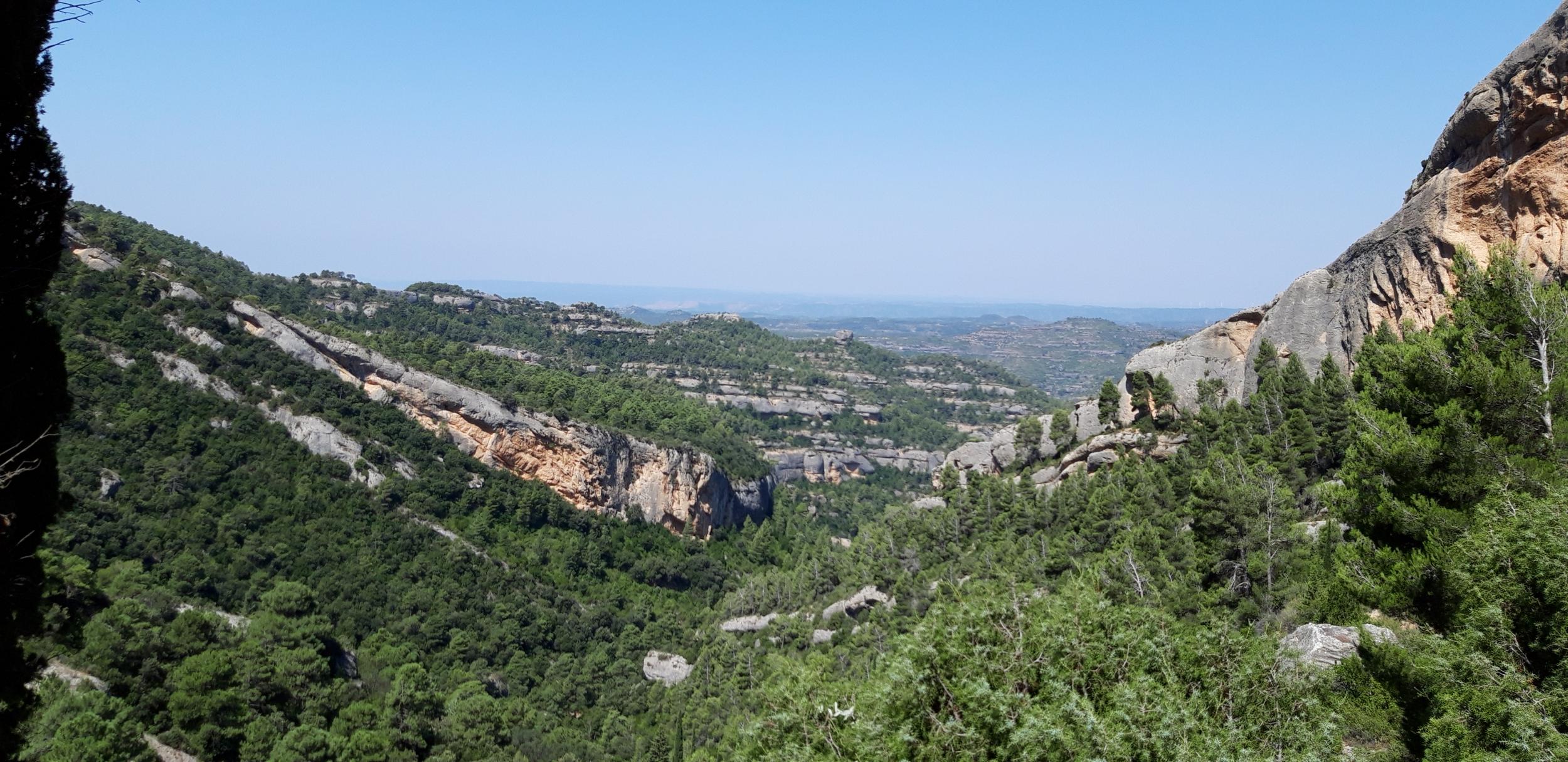
This route follows the Barranc de Sant Salvador (a barranc is a more or less seasonal watercourse) and shows you the way the land is used and exploited at this end of the Montsant massif. You'll see a landscape shaped by spectacular espones (the local name for drystone retaining walls) and terraces largely used in the past for olive and almond trees. Today's route takes in places that tell of how the people of Margalef lived, like the Mas del Morerar, the Ximet cave or the different structures to manage water, all adapted to the terrain.
This route introduces you to an old landscape but also connects with the new star activities, walking and rock climbing, that share the area with agriculture, primarily growing olives and peaches.
Walking, looking at and enjoying the landscape of the Barranc de Sant Salvador also brings us close to one of the most spiritual spots on the Montsant massif. At the top stands the chapel of Sant Salvador, a former hermit's dwelling where a small chapel was later built under an overhang in the rock. This is a local place of worship and social meeting place that has become an important place for festivities and celebrations for the people of Margalef. While this route doesn't quite go there, it's worth a visit.
Route description
1 From the bridge over the rover Montsant, where you can see an old olive oil mill, take the track towards the chapel of Sant Salvador, which you follow until turning off onto the path signposted towards Sant Salvador 2. Around you, you can already see old drystone walls built to make this steep, difficult terrain usable in terraces. Descend among laurustinus bushes and cross the stream bed, where riverside vegetation predominates, including numerous cherry trees. Just before you cross it there is a large drainage structure in the drystone wall that crosses the whole terrace, to avoid erosion when it rains a lot 3. Carry on uphill along the path, from which you can see the field terracing with a mixture of new and old olive groves. Pass close to the Mas del Morerar 4, a farmhouse built of stone and mud.
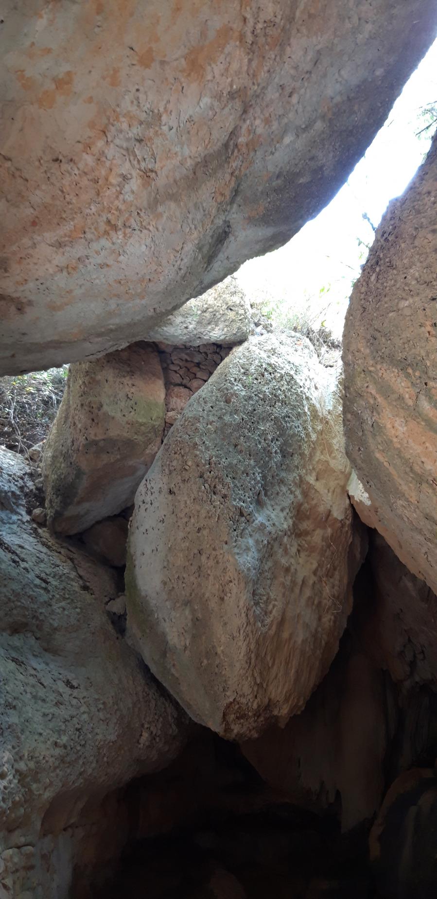
The path climbs until you turn off to the left to get to the Cova de la Roba 5, a large rock overhang, in the cracks of which a colony of swifts lives between March and October. Go back to the path and carry on towards the Cova del Ximet. The way down includes testimony to former farming activities in the stream bed, in a place known as the Racó del Pablo, sheltered by enormous rocks which are a popular place for climbing.
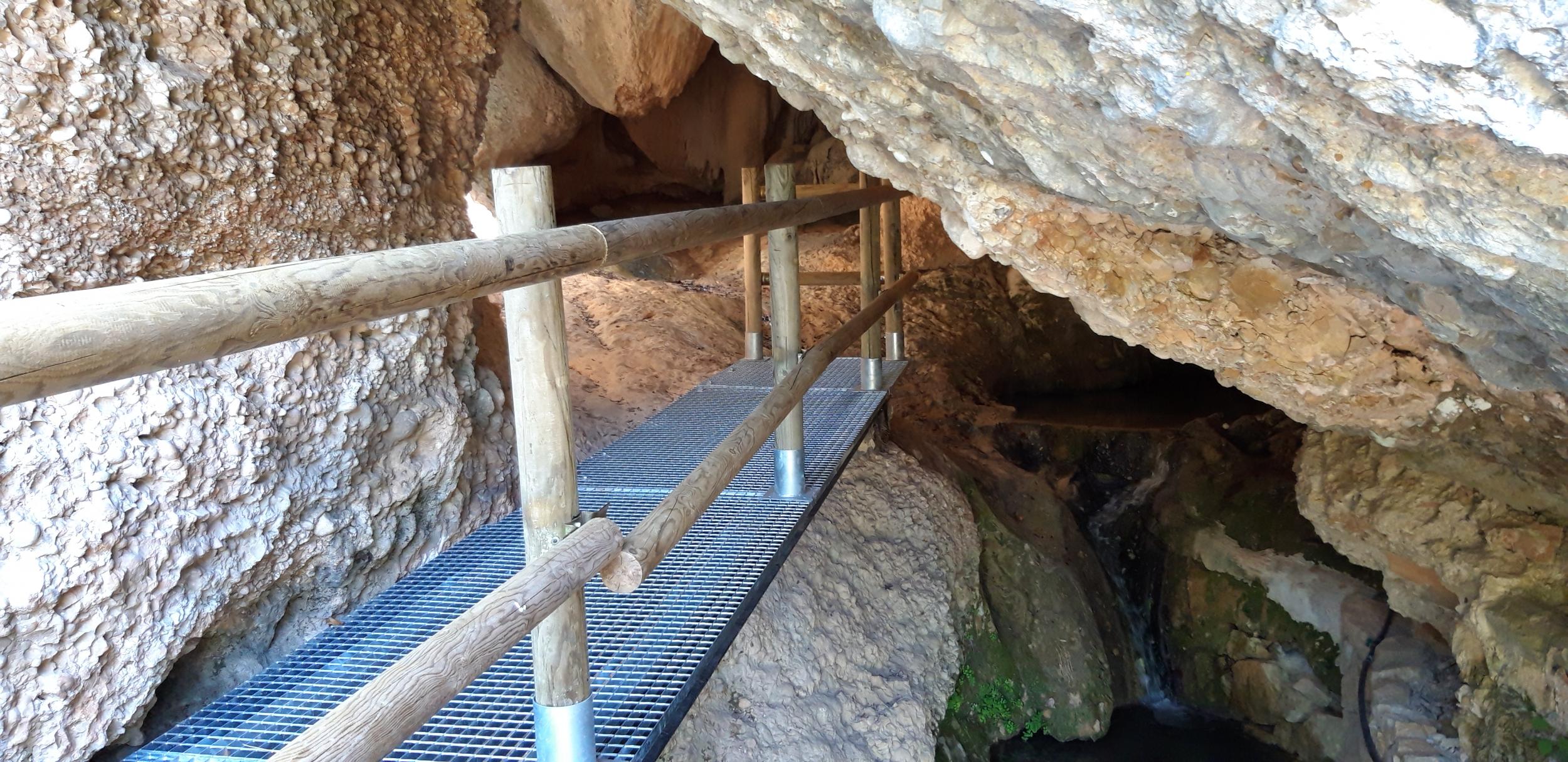
You then come to the Cova del Ximet 6, a cava which is a favourite picnic spot for the people of Margalef, as well as being important as a place where water is collected. Here you take the metalled road towards Margalef, following it for about 250 metres 7. Turn right and descend between terraces of olive trees to get to a disused water tank 8. Opposite this, cross the terrace and take the footpath downhill to a terrace of apple trees. Hidden among the rocks on your right is an anjub or cistern 9 that always contains water. Just in front of it is a small water tank which was used to store the water that flowed down the stream bed.
Leaving this terrace, take the dirt track to the left. Pass in front of the Mas del Morerar 4, which has revived terraces of olive trees and old irrigation structures. Follow the track until a post 10 points to the path on the right, which you follow to get to a large half moon-shaped water tank 11. After going round this, follow the footpath down the Barranc de Sant Salvador to rejoin the track on which you set out, and follow this back to the village.
Image gallery